
ⴰⴼⴰⵢⵍⵓ:Bosnia and Herzegovina in Europe.svg

Size of this PNG preview of this SVG file: 701 × 599 ⵉⴷ ⴱⵉⴽⵙⵍ. ⵜⵉⴼⵙⴰⵢⵉⵏ: ⵢⴰⴹⵏ 281 × 240 ⵉⴷ ⴱⵉⴽⵙⵍ | 561 × 480 ⵉⴷ ⴱⵉⴽⵙⵍ | 898 × 768 ⵉⴷ ⴱⵉⴽⵙⵍ | 1 198 × 1 024 ⵉⴷ ⴱⵉⴽⵙⵍ | 2 395 × 2 048 ⵉⴷ ⴱⵉⴽⵙⵍ | 1 401 × 1 198 ⵉⴷ ⴱⵉⴽⵙⵍ.
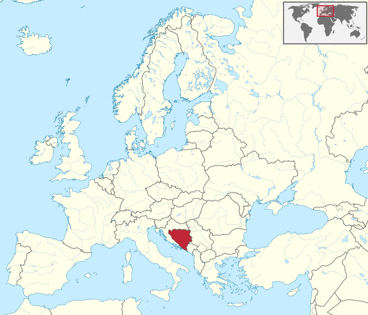
ⴰⴼⴰⵢⵍⵓ ⴰⵙⴰⵍⴰⵏ (ⴰⴼⴰⵢⵍⵓ SVG, ⵙ 1 401 × 1 198 ⵉⴷ ⴱⵉⴽⵙⵍ, ⵜⵉⴷⴷⵉ ⵏ ⵓⴼⴰⵢⵍⵓ: 2,61 MB)
ⴰⵙⴳⵣⵍ
.svg)
.svg)
.svg)
.svg)
.svg)
.svg)
.svg)

-en.svg)

.svg)
.svg)
.svg)

_(US48).svg)
_(small_islands_magnified)_(-mini_map_-rivers).svg)
.svg)
_(extra_close)_(US48).svg)
.svg)
_(zoom).svg)

.svg)


_(UNMIK).svg)
.svg)
_(disputed_hatched).svg)
_(claimed_and_disputed_hatched).svg)
.svg)
.svg)
_(%2Ball_claims_hatched).svg)

.svg)
_(shade).svg)
_(shade)_(special_marker).svg)
_(-mini_map).svg)
_(-mini_map).svg)
_(-mini_map).svg)


.svg)

.svg)
ⵜⵓⵔⴰⴳⵜ
I, the copyright holder of this work, hereby publish it under the following license:
ⴰⴼⴰⵢⵍⵓ ⴰⴷ ⵉⵍⵍⴰ ⴷⴷⵓ ⵜⴼⴰⴷⵉⵡⵉⵏ ⵏⵜⵓⵔⴰⴳⵜ Creative Commons Attribution - Partage dans les Mêmes Conditions 3.0 (non transposée).
- ⵜⴳⵉⴷ ⵉⵍⴻⵍⵍⵉ:
- ⴱⴹⵓ – ⵉ ⵓⵙⵙⵏⵖⵍ, ⴰⴱⵟⵟⵓ ⴷ ⵓⵙⵎⵓⵜⵜⵢ ⵏ ⵜⵡⵓⵔⵉ
- ⵛⵛⴰⵔ – ⵉ ⵓⵙⵎⵙⴰⵙⴰ ⵏ ⵜⵡⵓⵔⵉ
- ⴷⴷⴰⵡ ⵜⴼⴰⴷⵉⵡⵉⵏ ⴰⴷ:
- ⴰⵎⴰⵙ – ⵉⵇⵇⴰⵏ ⴷ ⴰⴷ ⵜⴼⴽⴷ ⵓⵎⵍⴰⵏ ⵖⴼ ⵓⵎⴳⴰⵢ, ⵜⴼⴽⴷ ⴰⵙⵖⵏ ⵖⵔ ⵜⵓⵔⴰⴳⵜ, ⵜⵎⵍⴷ ⵉⵖ ⵉⵜⵜⵡⴰⵙⵏⴼⵍ. ⵜⵣⴹⴰⵔⴷ ⴰⴷ ⵜⵙⴽⵔⴷ ⵎⴽ ⴰⴷ ⵙ ⵜⵖⴰⵔⴰⵙⵜ ⵏⵏⴰ ⴷ ⵢⵓⵙⴰⵏ, ⵎⴰⵛ ⵓⵔ ⴷ ⴽⵔⴰ ⵏ ⵜⵖⴰⵔⴰⵙⵜ ⵉⵎⵎⴰⵍⵏ ⵎⴰ ⵙ ⴷ ⴰⵎⴳⴰⵢ ⴰⵔ ⴽ ⵉⵏⵏⴰⵍ ⵏⵖ ⴷ ⴰⵙⵎⵔⵙ ⵏⴽ.
- ⴱⴹⵓⵜ ⵎⴽⵍⵍⵉⵜ – ⵎⴽ ⵜⵙⵏⴼⵍⴷ ⵏⵖ ⵜⵙⵎⵓⵜⵜⵉⴷ ⵏⵖ ⵜⵥⴽⵉⴷ ⵖⴼ ⵜⵡⵓⵔⵉ, ⵉⵇⵇⴰⵏⴽ ⵉⴷ ⴰⴷ ⵜⴱⴹⵓⴷ ⵜⵓⵎⵓⵜⵉⵏ ⵏⴽ ⴷⴷⴰⵡ ⵜⵓⵔⴰⵇⵜ ⴰⵏⵏ ⵏⵉⵜ ⵏⵖ ⴽⵔⴰ ⵏ ⵜⵓⵔⴰⴳⵜ ⴷ ⵢⵓⵙⴰⵏ ⴷ ⵜⴷⵙⵍⴰⵏⵜ.

|
I'd greatly appreciate, that you attribute this media file to Wikimedia Commons, if used outside Wikipedia or Commons. For use in publications such as books, newspapers, blogs, websites, please insert here the following line:
|
ⴰⵎⵣⵔⵓⵢ ⵏ ⵓⴼⴰⵢⵍⵓ
ⴽⵍⵉⴽⵉ ⵖⴼ ⵓⵙⴰⴽⵓⴷ/ⴰⴽⵓⴷ ⵃⵎⴰ ⴰⴷ ⵜⵙⴽⵏⴷ ⴰⴼⴰⵢⵍⵓ ⵎⴰⵏⵎⴽ ⴰⴷ ⵢⴰⴷⵍⵍⵉ ⵉⴳⴰ ⴳ ⵡⴰⴽⵓⴷ ⴰⵏⵏ.
| ⴰⵙⴰⴽⵓⴷ/ⴰⴽⵓⴷ | ⵜⴰⵡⵍⴰⴼⵜ ⵎⵥⵥⵉⵢⵏ | ⵉⵎⵏⴰⴷⵏ | ⴰⵏⵙⵙⵎⵔⵙ | ⴰⵖⴼⴰⵡⴰⵍ | |
|---|---|---|---|---|---|
| ⴰⵎⵉⵔⴰⵏ | 05:29, 12 ⵢⵓⵍⵢⵓⵣ 2016 | | 1 401 × 1 198 (2,61 MB) | Stasyan117 | Dotted line between Ukraine and Crimea |
| 15:11, 17 ⵎⴰⵕⵚ 2011 |  | 1 401 × 1 198 (4,04 MB) | TUBS |
ⴰⵙⵎⵔⵙ ⵏ ⵓⴼⴰⵢⵍⵓ
ⵜⴰⵙⵏⴰ ⴰⴷ ⵜⵙⵎⵔⵙ ⴰⴼⴰⵢⵍⵓ ⴰⴷ:
ⴰⵙⵎⵔⵙ ⴰⵖⵣⵓⵔⴰⵏ ⵏ ⵓⴼⴰⵢⵍⵓ
ⵉⵡⵉⴽⵉⵜⵏ ⴰⴷ ⵢⴰⴹⵏⵉⵏ ⴰⵔ ⵙⵙⵎⵔⵙⵏ ⴰⴼⴰⵢⵍⵓ ⴰⴷ:
- ⴰⵙⵎⵔⵙ ⴳ ace.wikipedia.org
- ⴰⵙⵎⵔⵙ ⴳ ang.wikipedia.org
- ⴰⵙⵎⵔⵙ ⴳ be-tarask.wikipedia.org
- ⴰⵙⵎⵔⵙ ⴳ bg.wikipedia.org
- ⴰⵙⵎⵔⵙ ⴳ bs.wikiquote.org
- ⴰⵙⵎⵔⵙ ⴳ de.wikipedia.org
- ⴰⵙⵎⵔⵙ ⴳ en.wikinews.org
- ⴰⵙⵎⵔⵙ ⴳ es.wikipedia.org
- ⴰⵙⵎⵔⵙ ⴳ et.wikipedia.org
- ⴰⵙⵎⵔⵙ ⴳ fi.wikipedia.org
- ⴰⵙⵎⵔⵙ ⴳ frr.wikipedia.org
- ⴰⵙⵎⵔⵙ ⴳ fr.wikipedia.org
- ⴰⵙⵎⵔⵙ ⴳ fy.wikipedia.org
- ⴰⵙⵎⵔⵙ ⴳ hsb.wikipedia.org
- ⴰⵙⵎⵔⵙ ⴳ hu.wiktionary.org
- ⴰⵙⵎⵔⵙ ⴳ incubator.wikimedia.org
- ⴰⵙⵎⵔⵙ ⴳ it.wiktionary.org
- ⴰⵙⵎⵔⵙ ⴳ lv.wikipedia.org
- ⴰⵙⵎⵔⵙ ⴳ nl.wikipedia.org
- ⴰⵙⵎⵔⵙ ⴳ os.wikipedia.org
- ⴰⵙⵎⵔⵙ ⴳ pl.wikipedia.org
- ⴰⵙⵎⵔⵙ ⴳ pt.wikipedia.org
- ⴰⵙⵎⵔⵙ ⴳ pt.wikiquote.org
- ⴰⵙⵎⵔⵙ ⴳ pt.wiktionary.org
ⵙⴽⵏ ⵓⴳⴳⴰⵔ ⵖⴼ ⵓⵙⵙⵎⵔⵙ ⴰⵎⴰⵜⴰⵢ ⵏ ⵓⴼⴰⵢⵍⵓ ⴰⴷ.